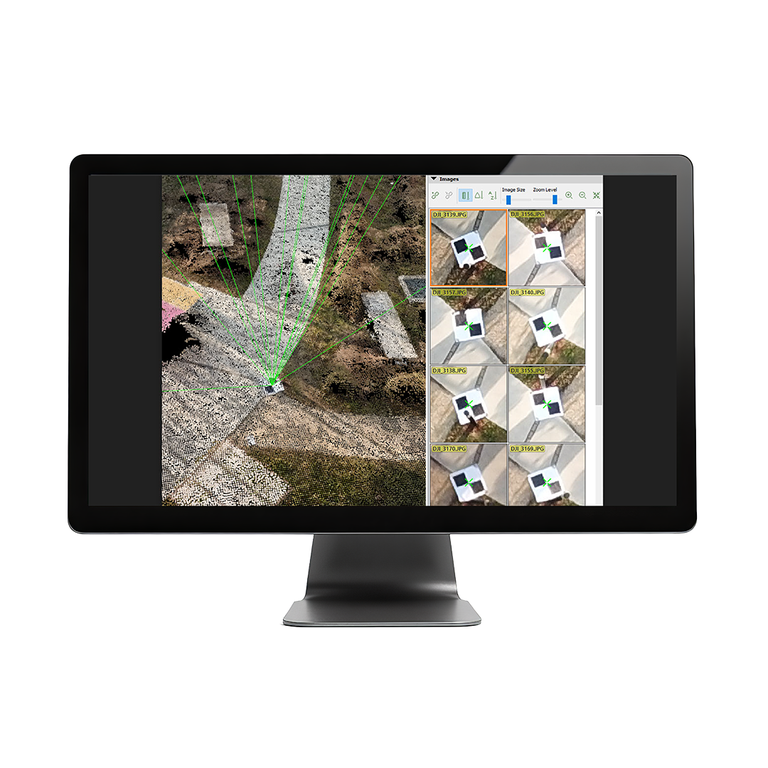
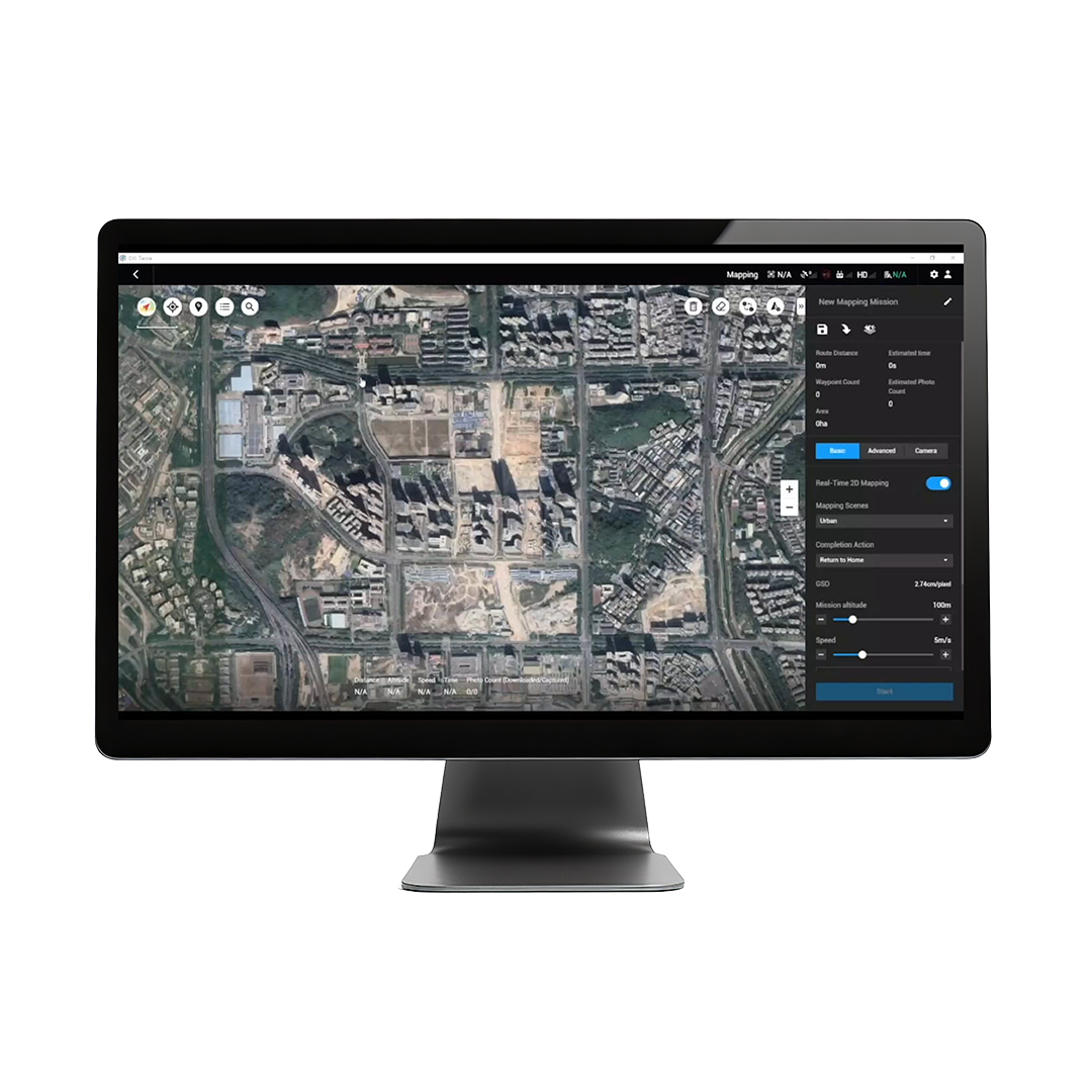
DJI Terra is a professional photogrammetry and mapping platform designed for drone-based surveying, modeling, and inspection. It supports automated mission planning, real-time 2D/3D reconstructions, and detailed analysis for industries like construction, agriculture, and public safety.• Data Types Supported: Imports photos (JPG/RAW), flight logs, and • GNSS data from DJI drones.Real-Time Mapping: Supports live 2D map generation during flight (using compatible drones).3D Reconstruction: Offers high-, medium-, and low-resolution 3D modeling (up to 400 images/project for advanced versions).Coordinate Systems: Supports global CRS (WGS84, CGCS2000, etc.) and custom local coordinate inputs.Output Formats: Exports in OBJ, LAS, PLY, DXF, DSM, GeoTIFF, KML, and more.Measurement Tools: Area, volume, linear distance, and coordinate readings from 2D/3D models.Multi-GPU Acceleration: High-end versions support GPU parallel processing for faster reconstruction.