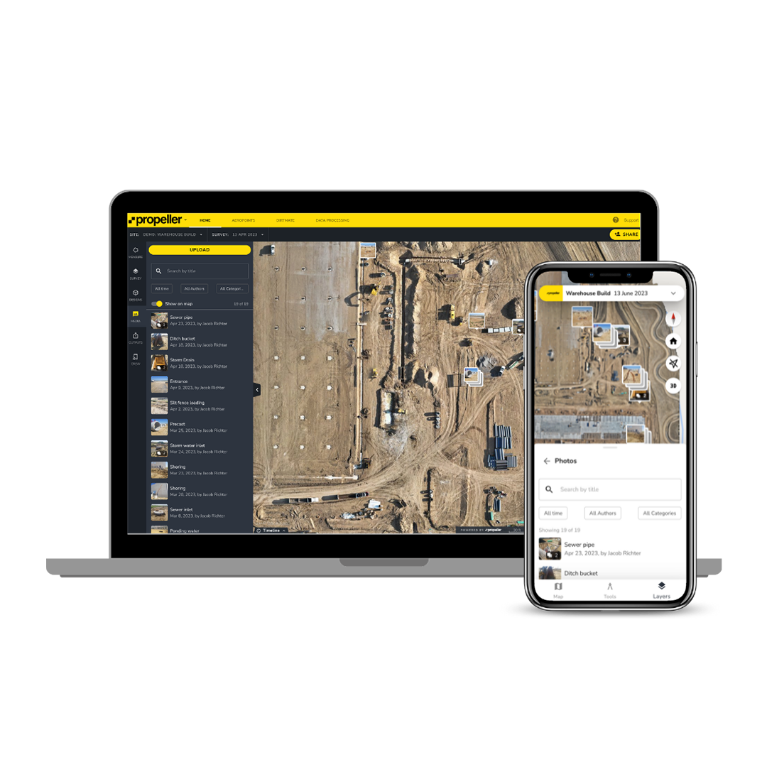
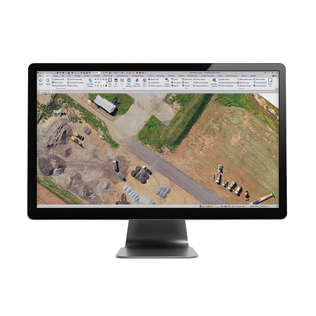
Leading photogrammetry software for professional drone mapping
$44.99
$82.33
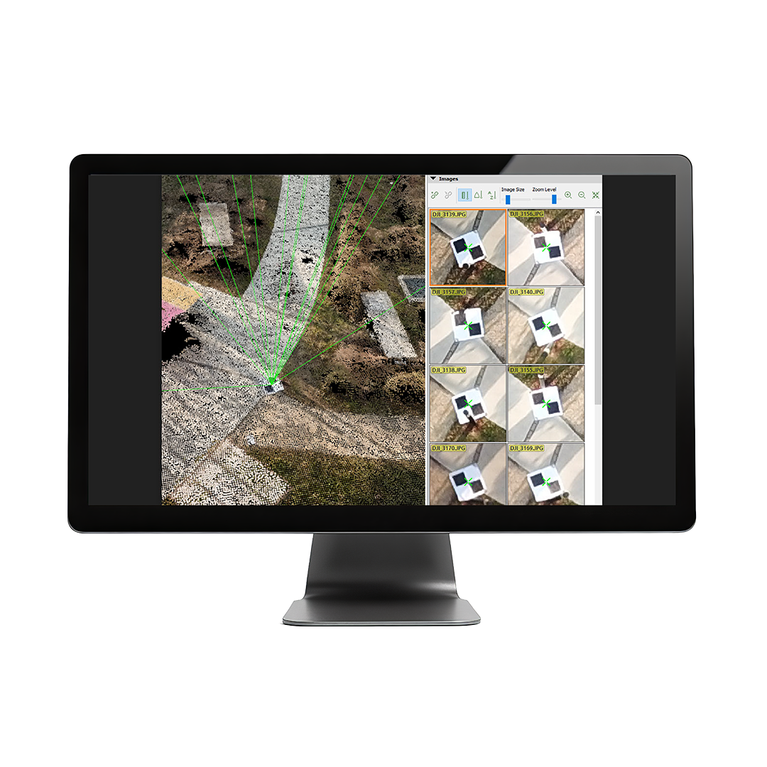
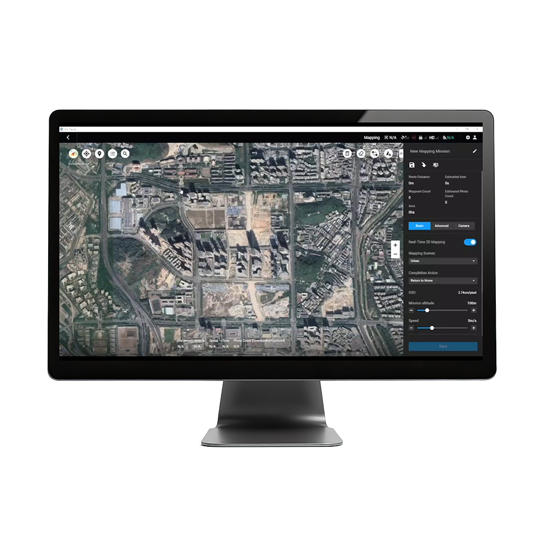
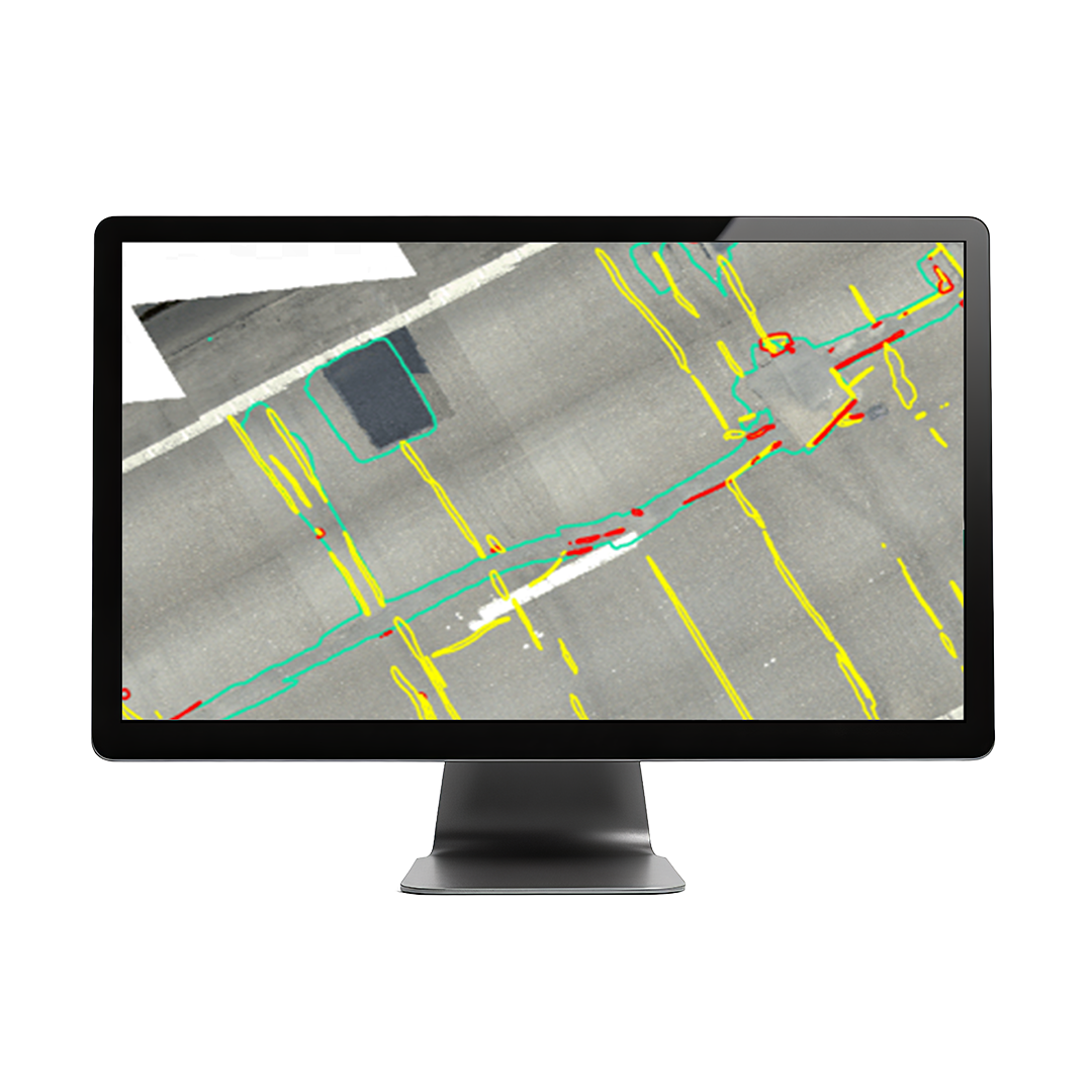
PIX4D Mapper is a photogrammetry solution to power applications across industries bringing advanced data processing for precise results.• Automatic point cloud classificationFlatten & smoothen digital surfacesEasily measure surface, distance & volumeControl over the project accuracyDetailed quality report DOWNLOAD DATA SHEET